Mechuka Valley & Menchukha Ridge Trek
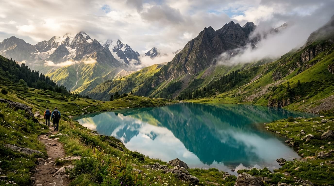
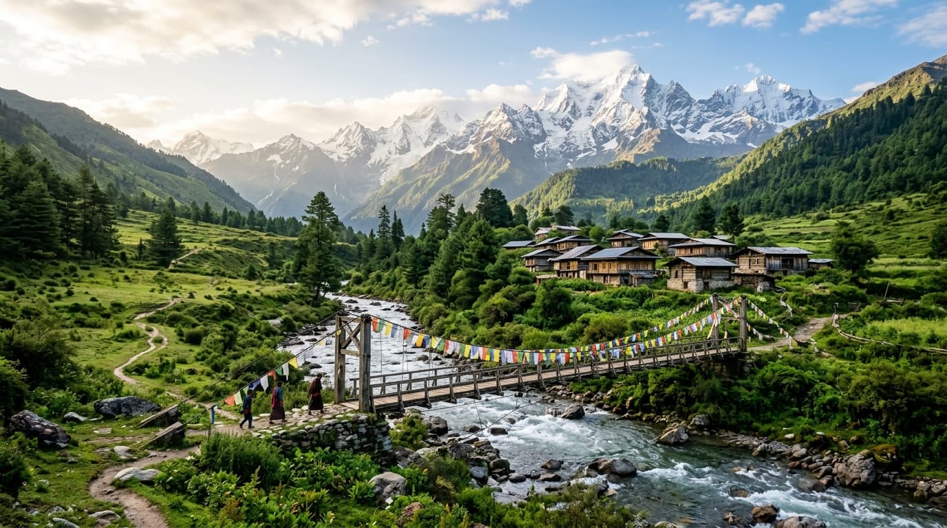
Ascend the rolling alpine meadows and panoramic ridges overlooking Mechuka Valley, often called Arunachal's Shangri-La, crowned by snowclad ridges and Memba prayer wheels.
11,200 ft
6D / 5N
32 km
October to April
Mechuka
Expedition Highlights
Detailed Trail Schedule
6 Days ItineraryArrive at Mechuka & Trailhead Briefing
BasecampArrive at the official basecamp in Mechuka. Meet our certified mountain guides, complete registration, check gear, and attend the evening route and safety briefing.
Trek from Camp 0 to High Camp
6400 ftSteady ascent through pristine forest trails, crossing mountain streams and breaking into rolling alpine meadows with spectacular mountain vistas.
Trek from Camp 1 to High Camp
7800 ftSteady ascent through pristine forest trails, crossing mountain streams and breaking into rolling alpine meadows with spectacular mountain vistas.
Trek from Camp 2 to High Camp
9200 ftSteady ascent through pristine forest trails, crossing mountain streams and breaking into rolling alpine meadows with spectacular mountain vistas.
Summit / High Pass Push to 11,200 ft & Camp
11,200 ftThe climactic summit ascent! Reach the highest vantage point of Mechuka Valley & Menchukha Ridge Trek at 11,200 ft, soaking in breathtaking 360-degree panoramic views across high mountain ranges.
Descend to Mechuka & Onward Departure
BasecampDescend through familiar wooded trails back to Mechuka. Celebrate your journey with your fellow trekkers and board transport for onward connections.
What's Included
- •All camp and dome tent accommodations on twin/triple sharing basis
- •Nutritious, freshly prepared vegetarian meals from Day 1 dinner to summit
- •Certified native mountain leader and experienced local support staff
- •Inner line permits, forest sanctuary entry fees, and camping permits
- •High-altitude first aid kit, pulse oximeter, and emergency oxygen cylinder
What's Excluded
- •Transport to and from the starting basecamp
- •Personal trekking equipment (trekking poles, personal sleeping bag liner)
- •Unforeseen emergency evacuation or medical hospitalization expenses
- •Personal snacks, bottled beverages, and tips for local staff
Trail Gallery